
SPACELAB · GIS RESEARCH FOR REAL ESTATE DEVELOPMENT
Applied spatial research for better real estate development decisions.
SpaceLab uses public spatial data, GIS and transparent methods to explore where change is occurring, how places compare and what those patterns could mean for land and development decisions.

WHAT SPACELAB EXPLORES
Three research lenses. One accountable standard.

Territorial & Market Signals
Growth, infrastructure and transformation patterns examined across territories and markets.
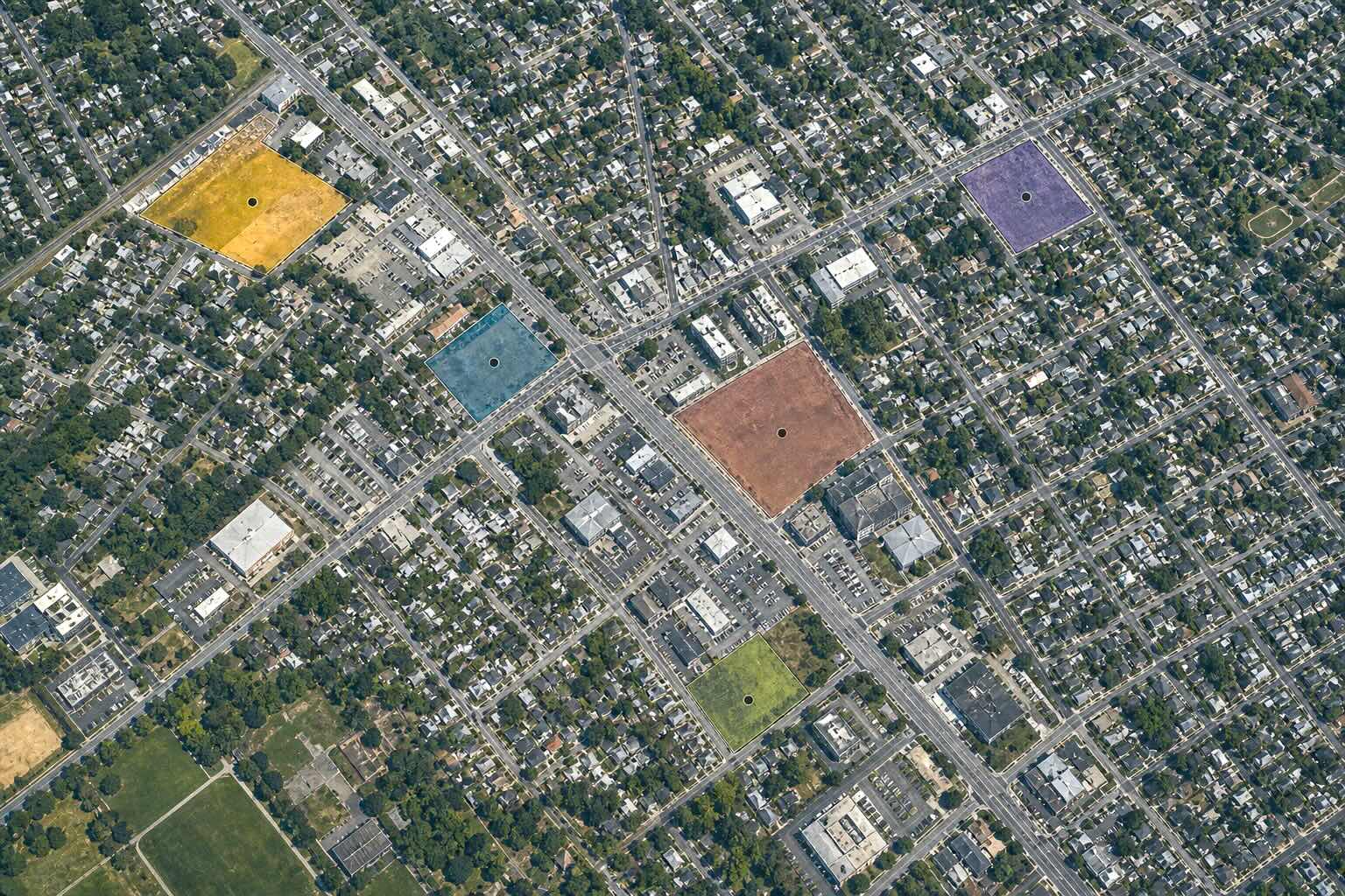
Site Comparisons & Selection
Locations compared with GIS across multiple scales to reveal fit, constraints and trade-offs.
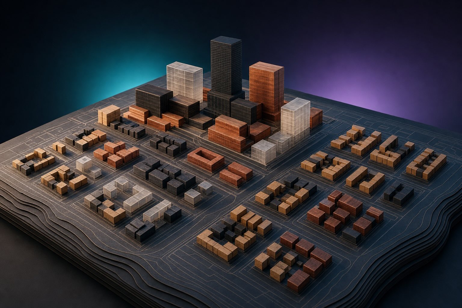
Development Potential & Scenarios
Land use, density and development factors tested before a direction is chosen.
ACROSS EVERY SPACELAB STUDY
Spatial evidence you can scrutinize.
Traceable evidence
Sources are clearly identified
Visible methods
Data sources, analytical tools, indicators and assumptions are explained.
Explicit limits
Uncertainty and evidence gaps are stated.
LATEST RESEARCH
SpaceLab research papers
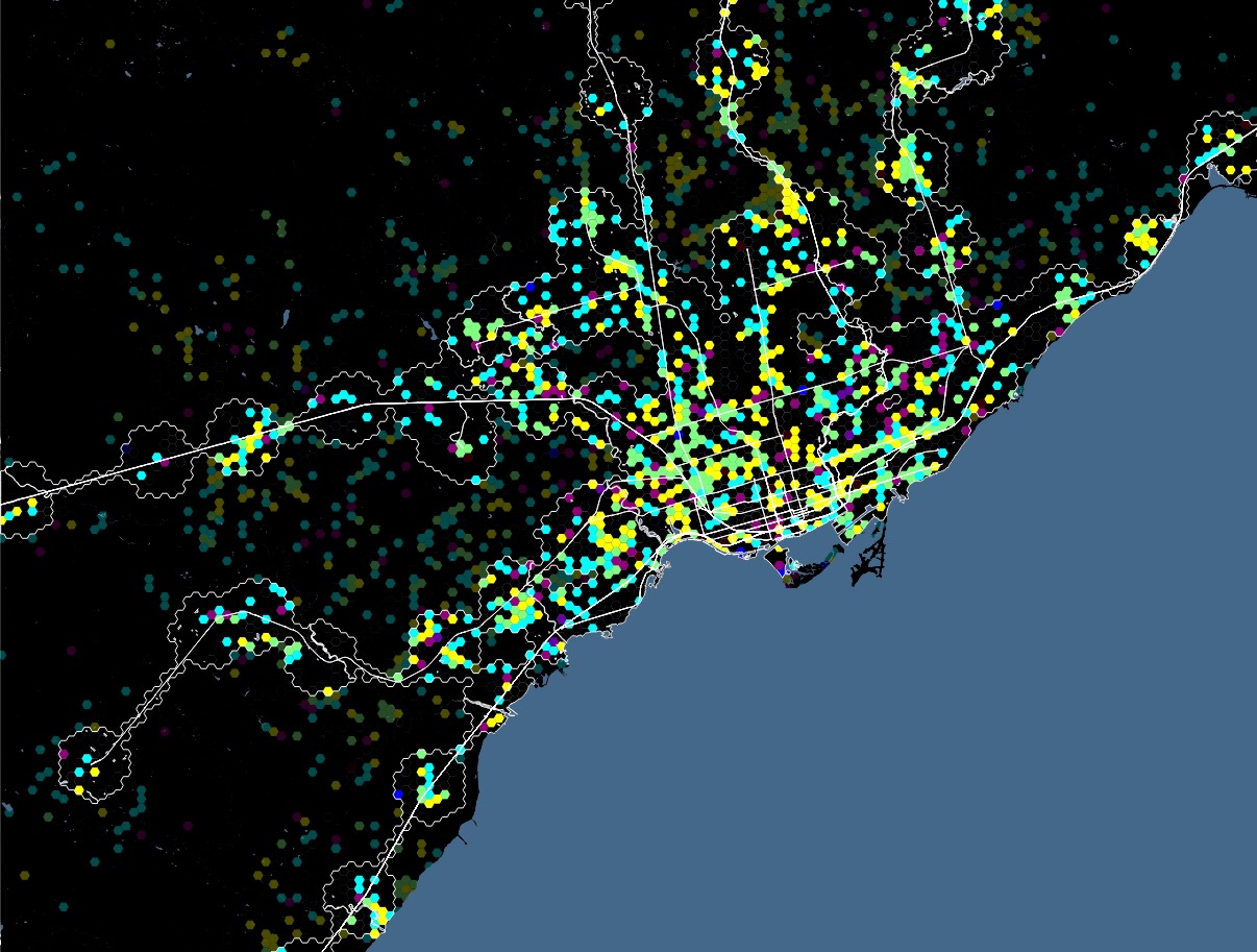
How Toronto’s Transit Areas Are Changing (2023–2026)
Compare mapped amenity change around Toronto rail stations from 2023 to 2026 using OpenStreetMap, 500 m hexagons and a transparent GIS screening method
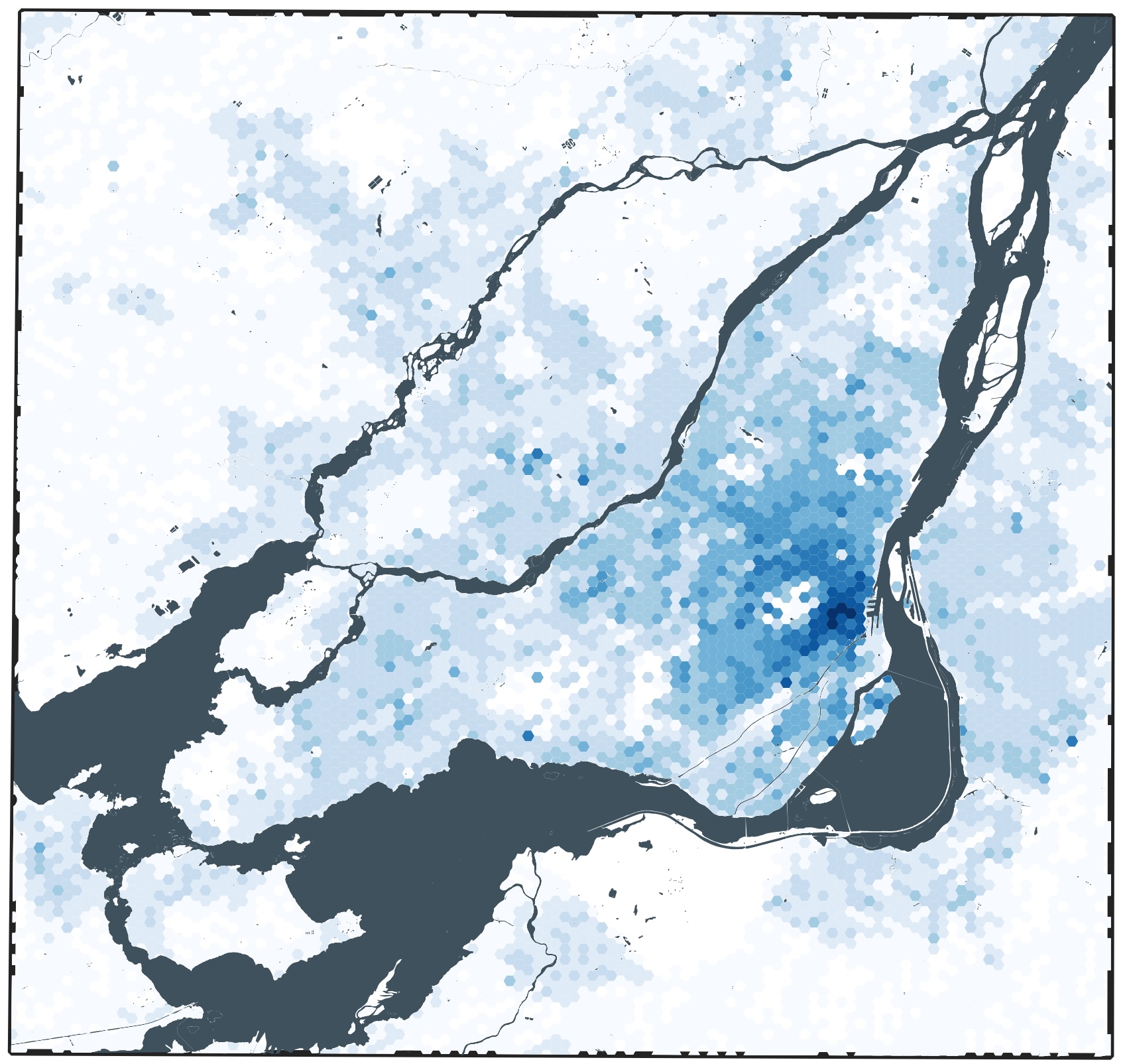
The Same Value Can Mean Different Things
Four maps reveal where assessed value concentrates, what it is made of, and why territories with comparable totals can belong to different real estate regimes.