
GIS + spatial intelligence for real estate development
Turning GIS and spatial data into better land use and real estate development decisions.
We read the place before you commit.
NEXT SpaceStrategy helps developers, investors and landowners clarify where to look, which site to pursue, what to build and how to prepare for operations.
Start with one place and one development decision. We will help you identify what deserves deeper analysis.

THE REAL ESTATE DEVELOPMENT LIFECYCLE
GIS and spatial evidence across every stage of development.

Territory

Market

Site

Project

Delivery

OPERATIONS
See the opportunity. Compare markets. Select the site. Test development scenarios. Prepare the asset for delivery and operations.
REAL ESTATE DEVELOPMENT CONSULTING
Four real estate development decisions we help clarify.
1. Where should we look?
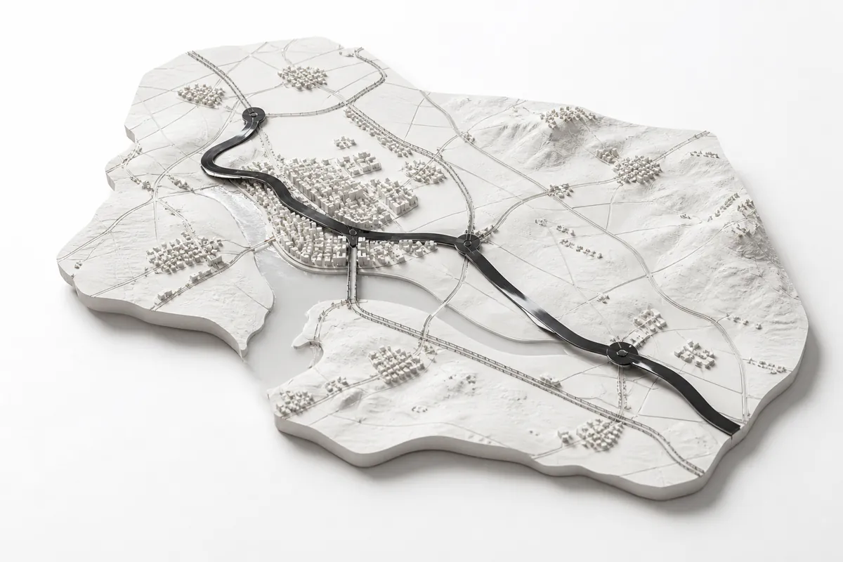
Territorial and market intelligence
Use GIS and market evidence to identify territories, growth corridors, infrastructure shifts and locations where change may create development opportunity.
2. Which site should we pursue?
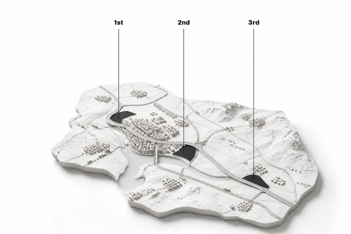
Site selection and spatial due diligence
Compare parcels using GIS : access, infrastructure, planning, environmental constraints and market context to understand fit, risk and trade-offs.
3. What could this site become?
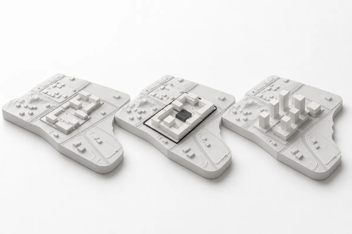
Development potential and scenario analysis
Test alternative land uses, density, built form and development strategies before committing to a direction.
4. What must be ready for operations?
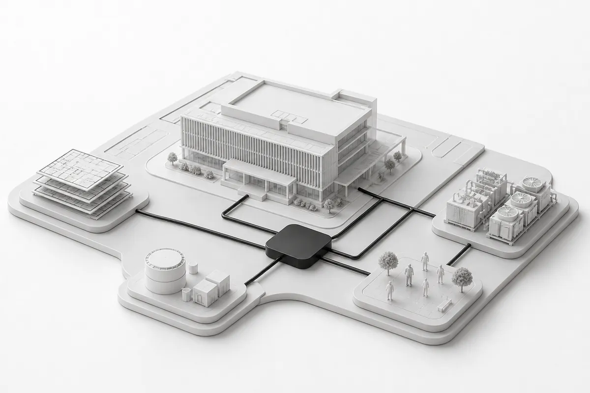
Operational readiness and asset information
Connect development choices with asset data, systems, maintenance requirements and operating needs, before and after delivery.
HOW NEXT EXAMINES A DECISION
A decision-first process for real estate development analysis.

Define the decision


Read the territorial and site context

Connect GIS evidence

Compare options

Identify next steps
A LOW-RISK FIRST ENGAGEMENT
A focused real estate development diagnostic—before you commit.
FREE FIT CHECK
A short review to confirm whether the question, location and available evidence are suitable for analysis.
FOCUSED SITE AND DEVELOPMENT DIAGNOSTIC
Fixed scope • Fixed fee
5–10 business days
Independent GIS and development analysis focused on one place, opportunity or decision.
WHAT YOU RECEIVE
- OPPORTUNITY | What the place or market could enable.
- CONSTRAINTS | Known limitations and material risks.
- UNKNOWNS | Evidence gaps that affect confidence.
- NEXT STEP | Proceed, investigate further or pause.
SPACELAB · GIS RESEARCH FOR REAL ESTATE DEVELOPMENT
Independent research. Public spatial data. Transparent limits.
SpaceLab is an independent GIS research environment exploring how public spatial data can reveal territorial change, compare development sites and clarify real estate development questions. Sources, assumptions and limitations are made explicit.
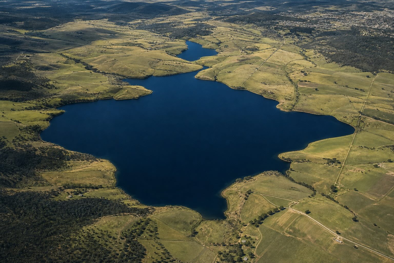
TERRITORIAL AND MARKET SIGNALS
Growth, infrastructure and transformation.
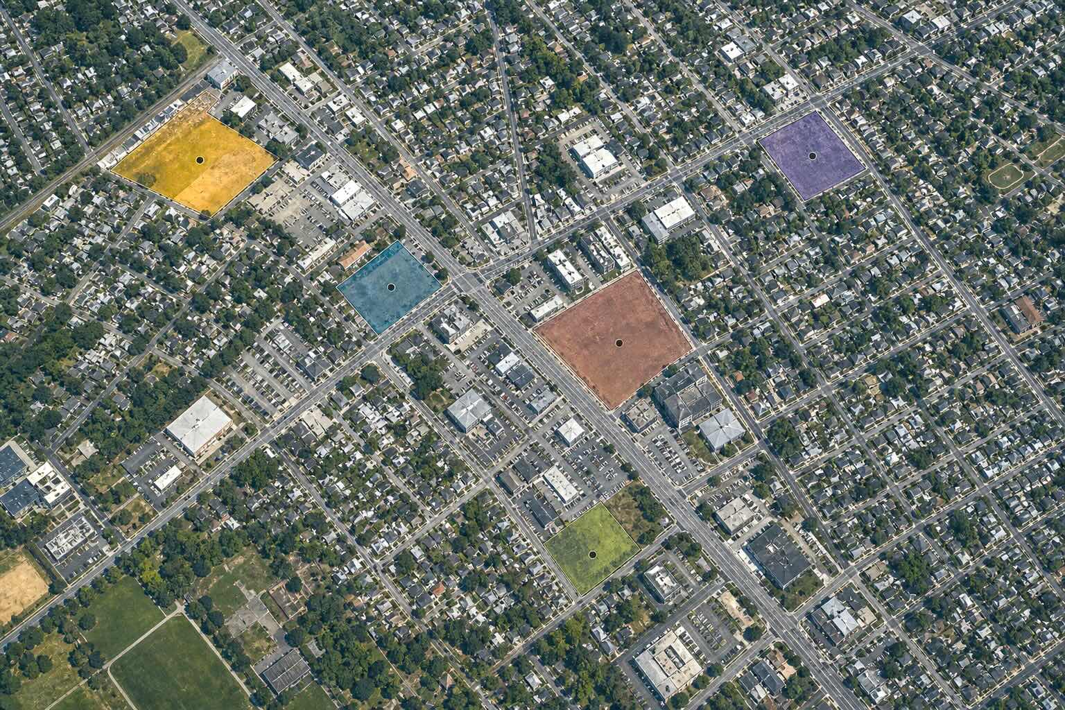
SITE COMPARISONS
Locations examined through GIS at multiple scales.
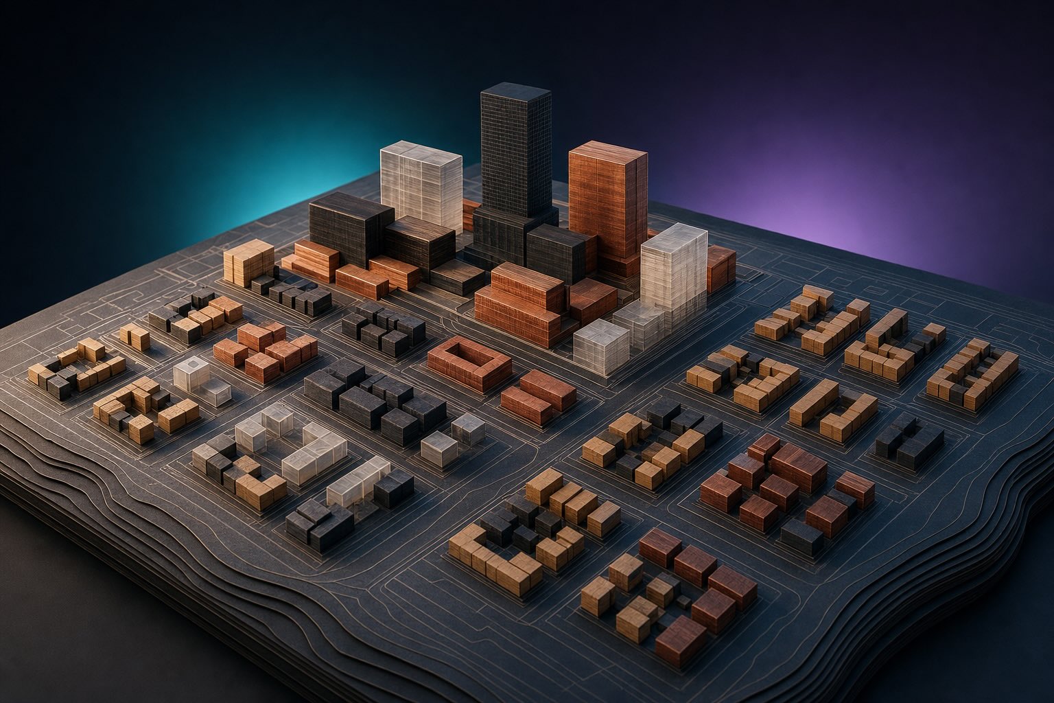
Development potential and scenarios
Factors that can change a decision.
Read latest research :
WHY NEXT SPACESTRATEGY
Independent real estate development consulting, grounded in operations.

20+ years in real estate operations and IWMS

Independent, vendor-neutral advice

GIS, sites, projects and operations connected across scales
Based in Montréal, NEXT supports projects across Canada and selected international markets.